
Solution
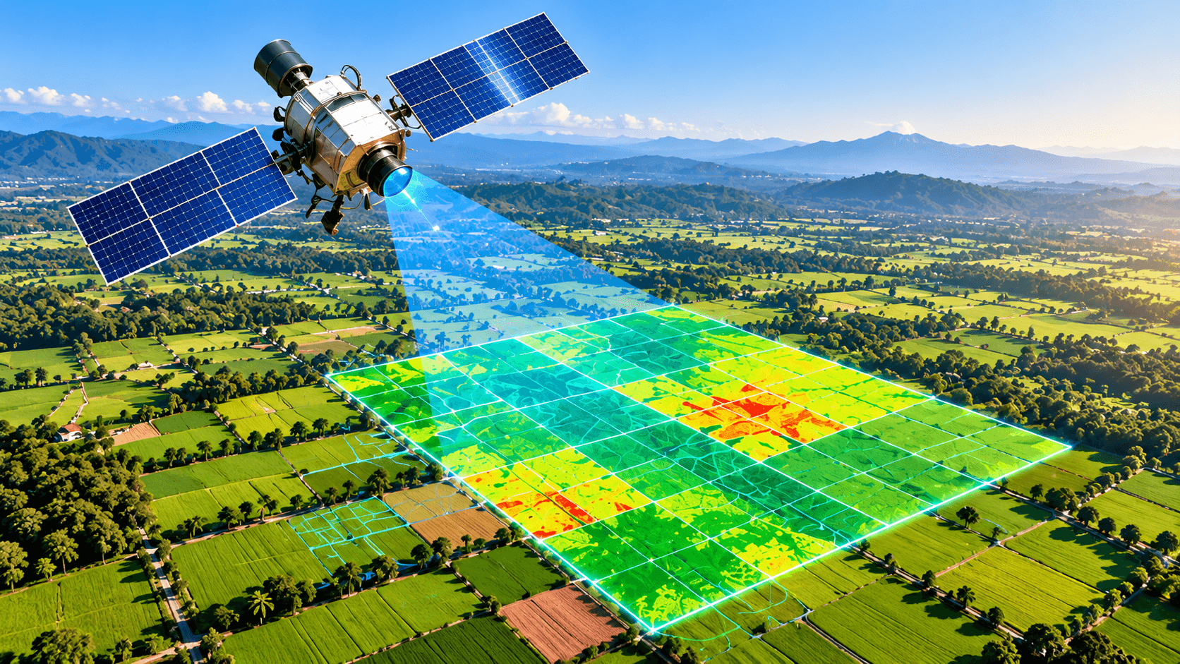
Satellite Monitoring
Field-level crop health indicators from satellite imagery.
Overview
PilotSatellite imagery is used to follow vegetation indices for each mapped field over time, highlighting potential crop stress indicators so attention can go where it is needed.
What it includes
- Field monitoring
- Crop health indicators
- Crop stress insights
- Field-level information
Where it fits
Part of one connected
farm journey.
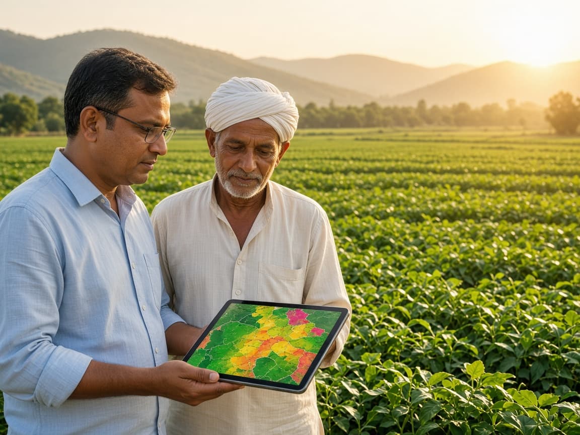
Satellite Monitoring shares its information with the rest of the Verveda ecosystem, helping farmers get more value at every step.
Farm
Your fields, crops and goals
Data
Field and crop information
Intelligence
Insights from soil, crop and field data
Advisory
Actionable recommendations
Action
Inputs, services and implementation
Agricultural Services
Connected farmer & partner ecosystem
Related
Explore more solutions
Available
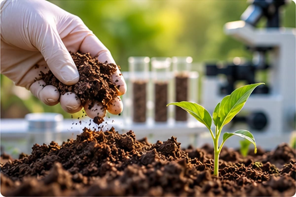
Soil Intelligence
- Soil testing
- Soil analysis
- pH and nutrient interpretation
- Geo-tagging of sample location
Available
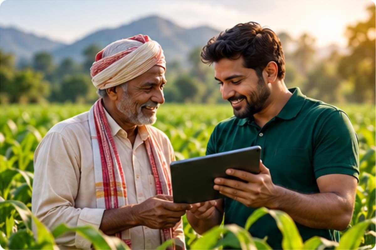
Crop Advisory
- Crop-stage advisory
- Crop nutrition
- Fertilizer guidance
- Irrigation guidance
Pilot
AI Crop Health
- Crop image upload
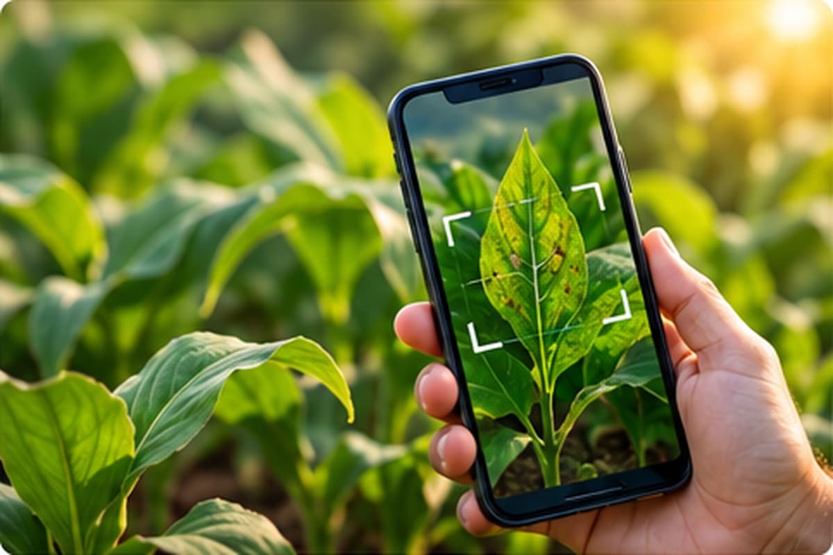
- AI-assisted crop health analysis
- Possible issue identification
- Recommended next steps

Connecting Agriculture With Intelligence.
Let's Build Smarter Agriculture Together.
Connecting farmers, technology, agricultural inputs and farm services through one growing ecosystem.